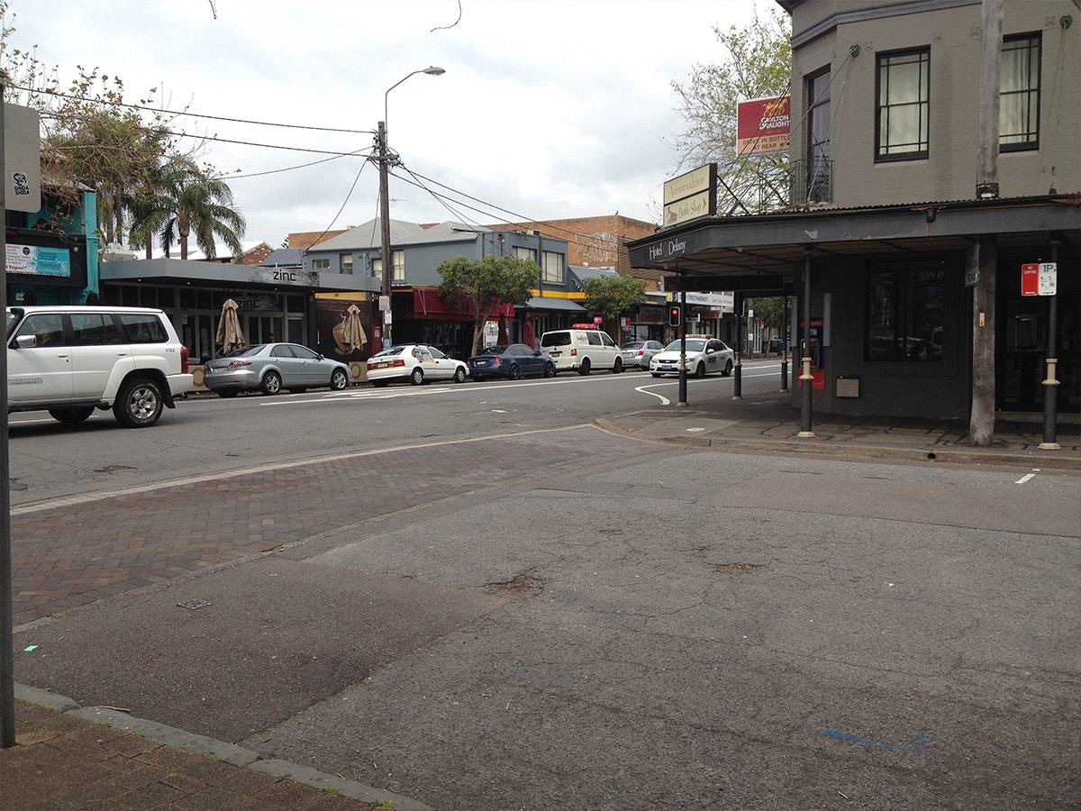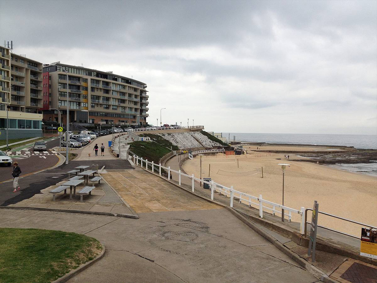
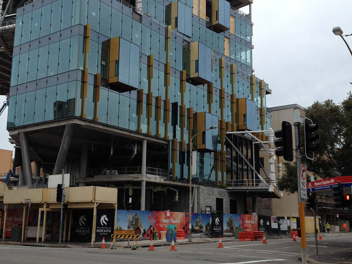
New Space, Newcastle

Sector:
Health and Education
Project:
Development

Below-DCP parking justified for a 4,000-student Newcastle campus

New Space, Newcastle

The University of Newcastle's Law and Business Faculty relocated to a new building in the Newcastle CBD designed for up to 4,000 students and staff. The challenge was justifying a parking supply well below the requirements of Newcastle City Council's DCP for a state significant development. SECA undertook a detailed transport assessment aligned with the goals of the Newcastle city revitalisation program. Analysis of the existing student cohort demonstrated that students would be well placed to access the new campus by active transport, supporting approval without additional parking costs.

Traffic Impact Assessment
Parking Study
Transport Management Plan
Workplace Travel Plan

See more of our projects

Port of Newcastle

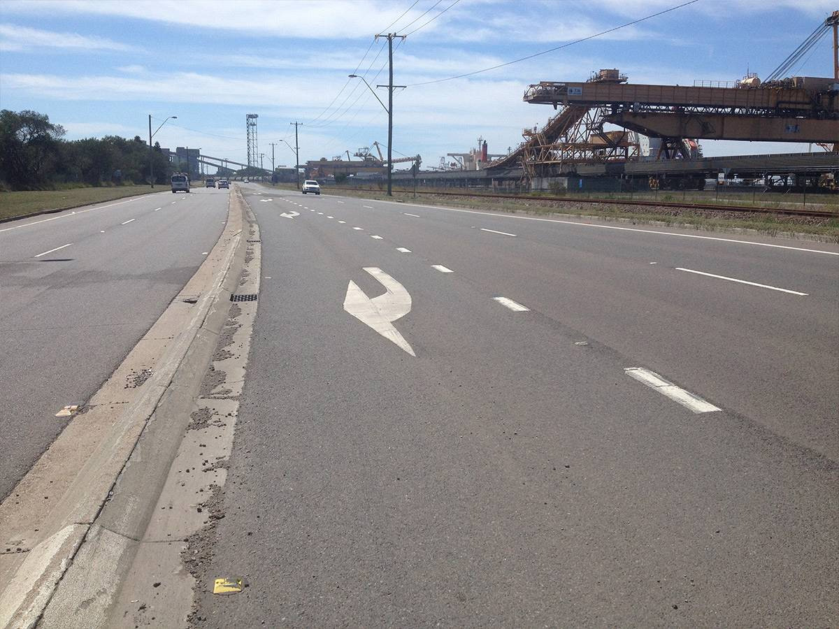
Road safety review of the private road network at Kooragang Island within the Port of Newcastle precinct. Control measures identified to address anti-social road behaviour that had persisted across the site for a number of years.

Philter Brewing, Marrickville

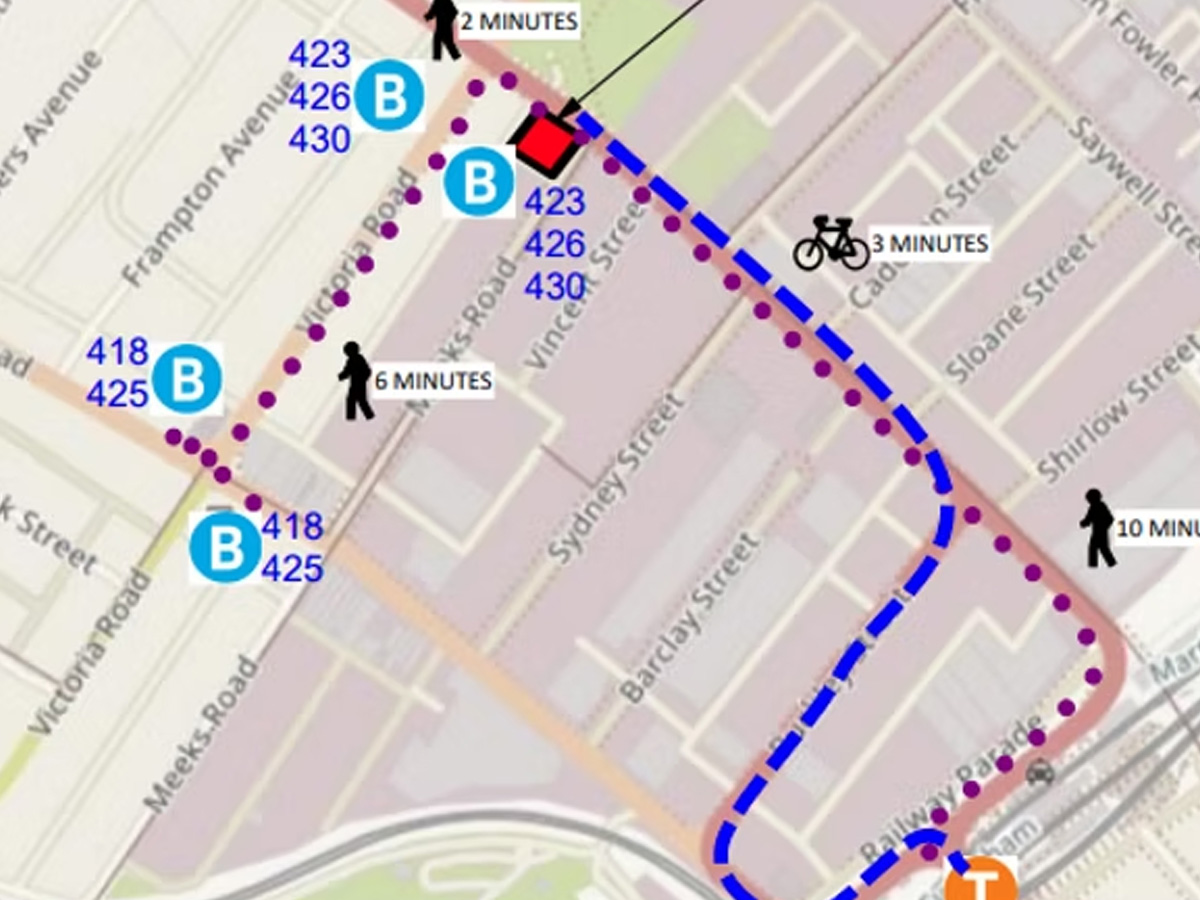
Green Travel Plan for Philter Brewing on Sydenham Road in Marrickville, Sydney. Sustainable transport alternatives identified for staff, reducing private vehicle use and supporting increased patronage through the DA process.

Sydney Metro Chatswood Dive Site

Pre-opening road safety audit for the Sydney Metro Chatswood Dive Site access road in Chatswood, NSW. Risks identified for pedestrians, cyclists and motorists before the new road connection between Nelson Street and Mowbray Road opened.

HD18, Honeysuckle Drive, Newcastle

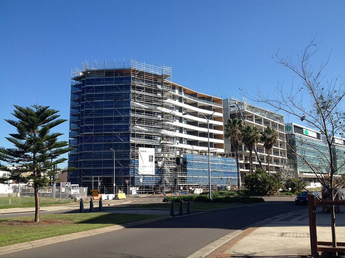
Traffic and parking assessment for the HD18 mixed use development on Honeysuckle Drive in Newcastle. Reduced visitor parking secured along with an agreed access arrangement close to Newcastle harbour. The development has since progressed to construction.

Commuter Car Parks for Train Stations, Sydney

Network-wide traffic study for new commuter car parks across the Sydney train network. Road network impacts, data collection and pedestrian connectivity assessed at each proposed site across NSW.

Grosvenor Lane, Neutral Bay

Traffic modelling and assessment for three configuration options along Grosvenor Lane in Neutral Bay, Sydney. Prepared for North Sydney Council to resolve community road safety and transport concerns in the area.

Cooks Hill Traffic Study, Newcastle

Traffic study for Newcastle City Council reviewing controls through the Cooks Hill inner-city suburb. Options assessed to improve accessibility and parking for residents and the entertainment precinct without encouraging rat-running.

Regional Rail Dubbo Maintenance Facility

Pre-opening road safety audit for the Regional Rail Dubbo Maintenance Facility in Dubbo, NSW. Pedestrian hazards at footpaths and crossing points identified before the facility commenced operations.

Taronga Western Plains Zoo, Dubbo

Traffic Impact Assessment and Intersection Modelling for the development of Taronga Western Plains Zoo in Dubbo, NSW. Delivered by Seca Solution for Taronga Conservation Society Australia.

Bathers Way, Newcastle

Traffic, parking and pedestrian review for the Bathers Way coastal walking track in Newcastle. Intersection upgrade options were assessed at multiple locations to maintain road safety and keep delays to a minimum.